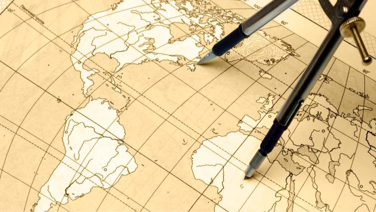
The session Cartography, Geographic Information Systems and Spatial Planning covers scientific articles of:
- Thematic Cartography
- Remote Sensing
- GIS Analysis
- Urban Planning
- Rural Planning
- Regional Planning
- Regional Geography
- Spatial and landscape planning
- INSPIRE